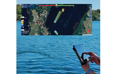
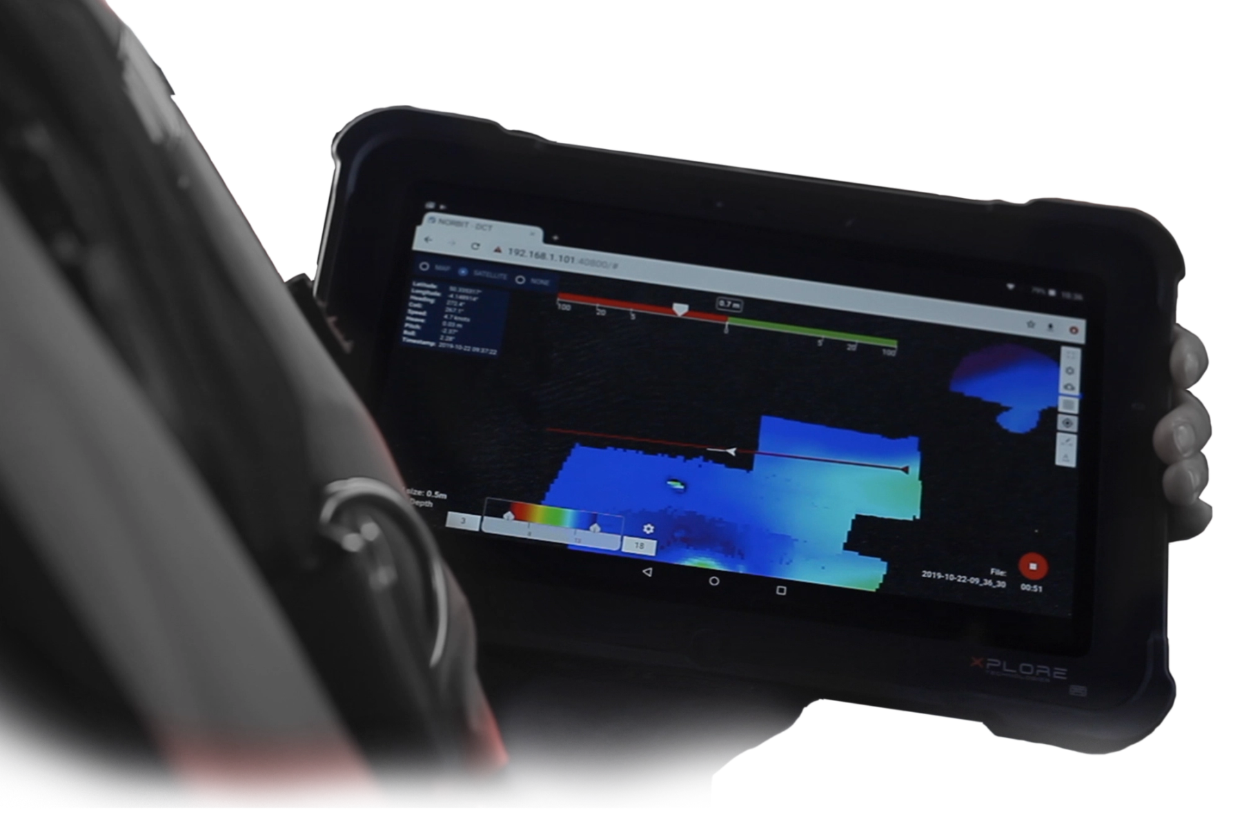
NORBIT’s Bathymetry Data Collection Tool (DCT) is designed to simplify standard bathymetric survey operations. The survey utility displays the bathymetry grid in a web browser, providing a real-time view of survey coverage and data quality while data is being collected.
DCT is ideal for small boats, single-operator surveys, and USVs with low-bandwidth radio connections. It can be operated from a navigation plotter, tablet, smartphone, or PC using a simple web browser interface. The intuitive planning tools enable users to create survey lines quickly and efficiently. With a single tap or mouse click, users can draw survey lines and automatically generate multiple parallel lines at a specified spacing within seconds. Survey lines can then be easily adjusted, moved, rotated, resized, or deleted as required.
DCT - Simplifying Survey Workflows
Clean and intuitive user interface:
- Runs in a web browser
- Streamlined functionality with access only to relevant tools and controls
- Right-click menus for rapid operation
- Quick to learn and use
- Enables surveyors of all experience levels to acquire high-quality data
- Survey the way you want with consistent data collection
- Minimal set-up time as settings are inherited from the Sonar GUI
- Instant data quality control reducing post-processing time
- Can be used simultaneously with other acquisition software
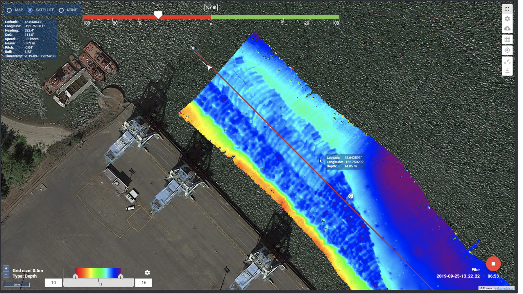
Real-time displays
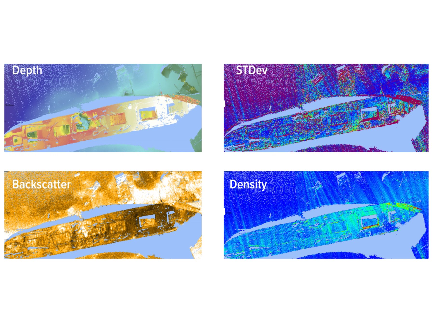
The available real-time displays in DCT are depth, sounding density, backscatter, and standard deviation. All four displays run concurrently on one or several clients, e.g. skipper can view depth display and surveyor, or QA remote assistant can view standard deviation and sounding density display.
Reliable Hydrographic Data Collection
Background maps can be customised independently on each client using Google Maps, allowing every user to configure the display to suit their role and preference.
DCT offers a simple, reliable data collection method with predictable and known data outputs. With DCT, all data is collected in the NORBIT *.wbm file as well as *.s7k file format. By collecting all data relative to the ellipsoid, DCT reduces the risk of incorrect geodetic settings, making it easier for organisations to deploy less experienced survey personnel. DCT is a utility to securely and efficiently run hydrographic surveys, collect high-quality survey data, and make it available for the processing software.
With a simple user interface, DCT offers powerful data-sharing capabilities built on the PostGIS and GeoServer frameworks. DCT supports standard WMS and WFS protocols and enables seamless integration with GIS software such as QGIS and other software for immediate data access and further processing in any user workflow.
DCT is available with NORBIT’s integrated sonar systems.
DCT - made for everyone!
Inexperienced surveyors
- Minimal training is required to collect IHO-quality data.
- Allows users to focus on survey operations and data collection rather than acquisition software settings.
Experienced surveyors
- Designed for simple survey operations to deliver results faster.
- Optimised for small vessels with limited space for large displays.
- Enables rapid mobilisation on vessels of opportunity
Real-time 3D Point Cloud viewer
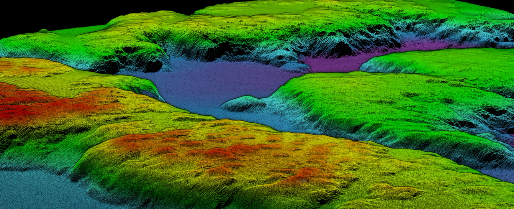
The Real-Time 3D Point Cloud Viewer extends NORBIT’s DCT software by providing live visualisation of georeferenced 3D bathymetric data during acquisition. Complementing DCT’s 2D coverage monitoring and survey planning capabilities, the interactive 3D environment enables rapid data interpretation and enhanced real-time quality assurance.
Operating entirely within a standard web browser, the viewer supports remote access and collaboration, allowing project managers, stakeholders and clients to monitor survey progress and review results from any location. This facilitates efficient data validation, informed operational decision-making, and streamlined project approval processes.
Integrated measurement and inspection tools enable users to explore, analyse and quantify features directly within the 3D environment, making the viewer ideally suited for the real-time inspection of subsea structures, assets and seabed features.
Autopilot Solution for USV/ASV
A NORBIT Explore more feature
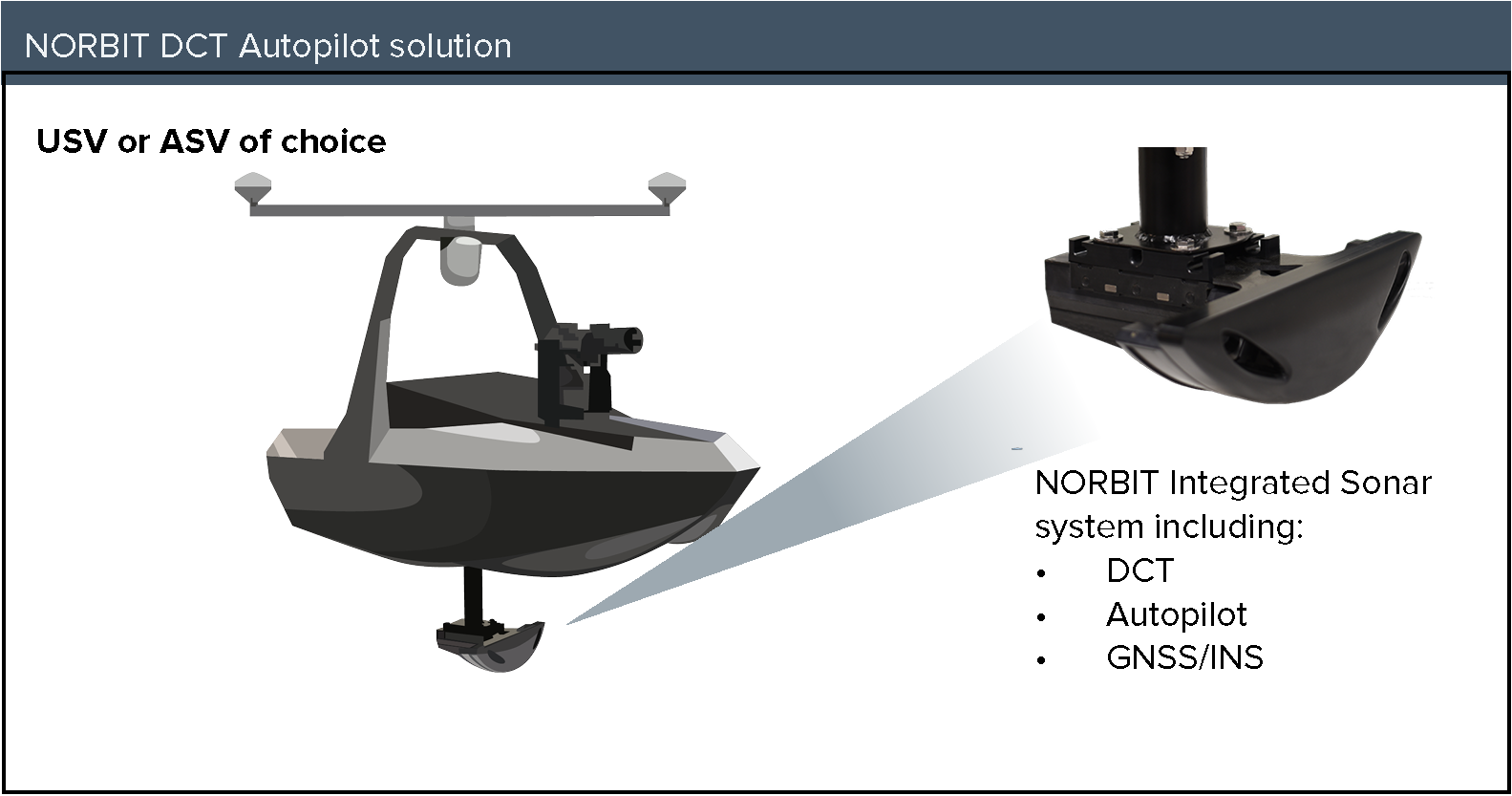
NORBIT’s Autopilot solution for Unmanned Surface Vehicles (USVs) and Autonomous Surface Vehicles (ASVs) enables fully automated survey line execution without operator intervention. The vehicle is controlled remotely through NORBIT’s DCT data Collection Tool. DCT automatically initiates data recording when the vehicle reaches the first survey line, while the USV autonomously transitions between survey lines as each line is completed. This provides an efficient and reliable method for autonomous survey data collection.
Features
- Simple interface of NORBIT Autopilot with Ardupilot*
- via a single MavLink connection
- Improves navigation of the USV with NORBIT
- integrated GNSS/INS data. No other GPS required
- Automatic survey based on bathymetry coverage.
- No manual boat driving required
- Remote display for the operator via tablet and web browser
- An integration manual is provided for every ArduPilot*(CubePilot, Raspberry Pi, etc.)
- Compatible with all Applanix or SBG GNSS/INS Integrated NORBIT WINGHEAD and WBMS sonars.
* ArduPilot is a trusted, versatile, and open-source autopilot pilot system