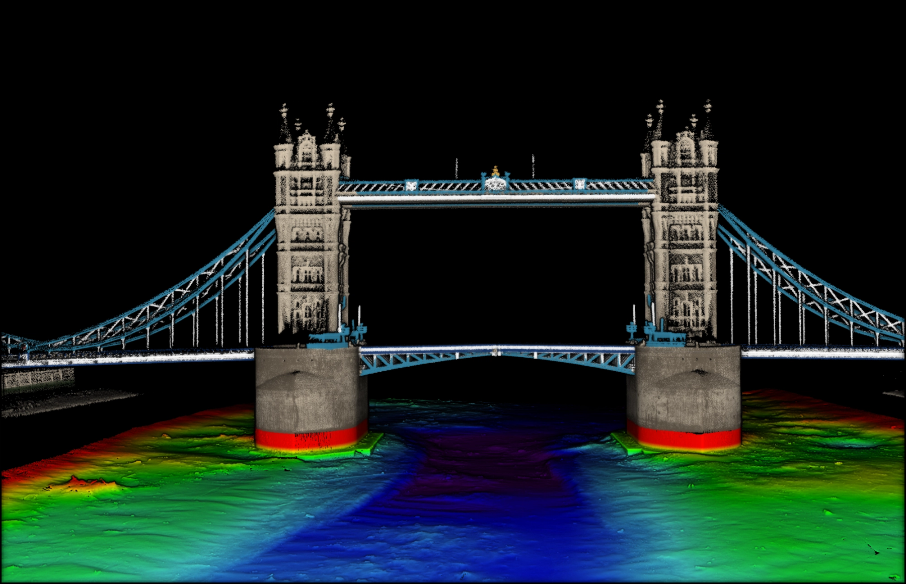
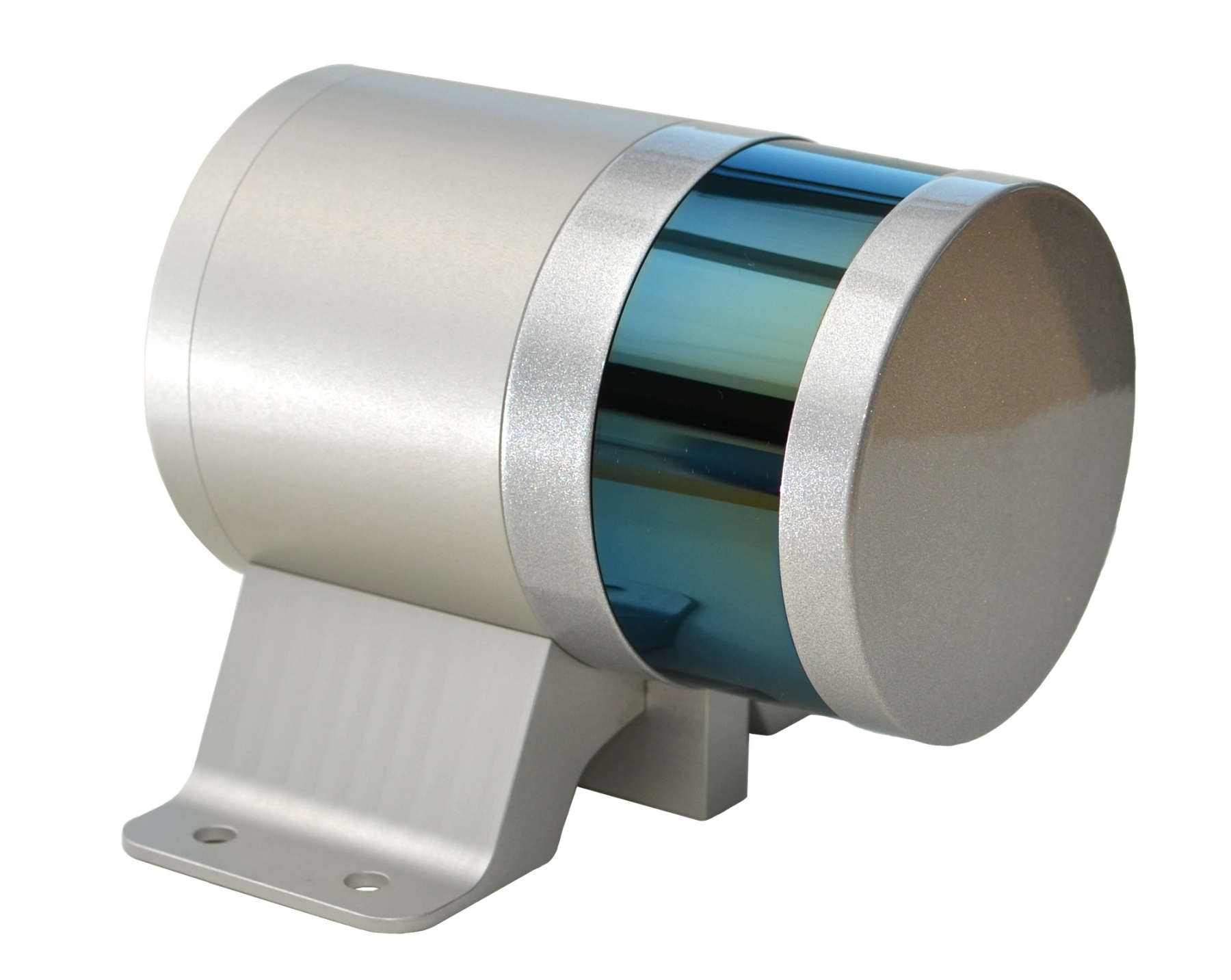
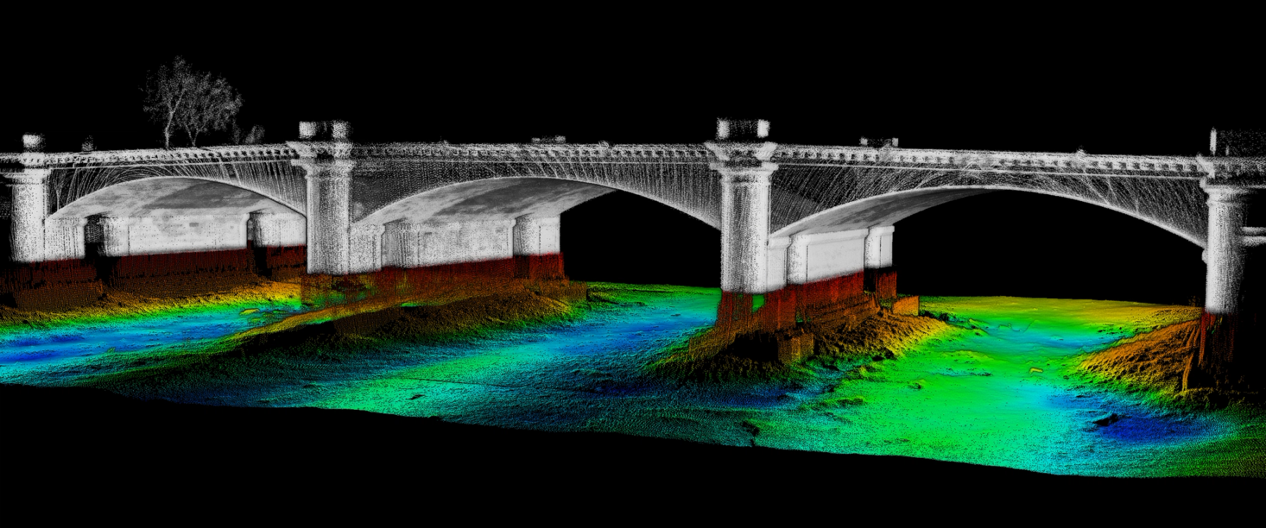
The NORBIT iLiDAR is a terrestrial mapping sensor fully integrated with a high-resolution bathymetric multibeam system. With 300,000 data points per second, it maps above-water surface terrain for a complete picture from a single pass.
A single cable connects the IP67 iLiDAR sensor head to the topside Sonar Interface Unit (SIU). With fewer connections, rapid integration and a compact form factor, surveys can be carried out from any sized platform by personnel with minimal expertise.
The iLiDAR is a multi-sensing concept that combines multiple tightly integrated sensors into one hardware platform with a single LAN connection to a survey laptop. Supported sensors include any combination of bathymetric multibeam echosounder, forward looking sonar, forward looking bottom detection, and iLiDAR.
Features
- Built for the marine environment
- Hardware time synchronisation
- Fully integrated with iWBMS
- Single cable integration
- 360° field of view
- Weight under 3 kg