
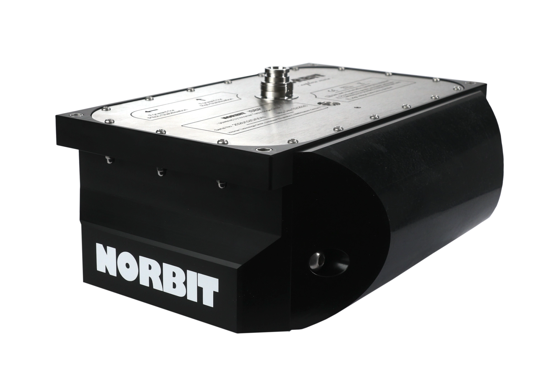
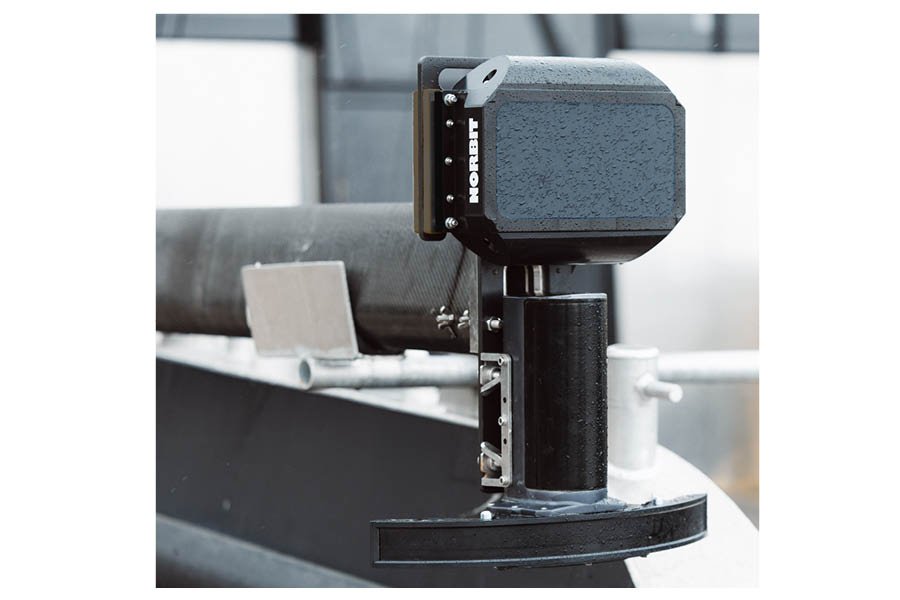
Compact sub-bottom profiler for combined bathymetric and sub-seafloor mapping.
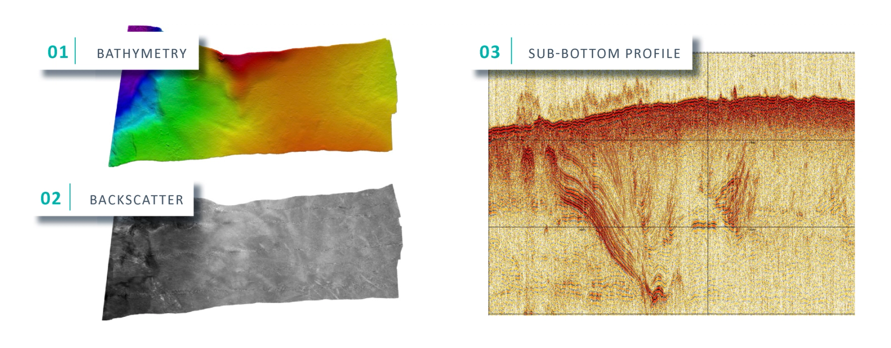
The Sub-bottom profiler (iSBP) from NORBIT delivers high-performance sub-bottom profiling in a compact, highly portable solution that integrates seamlessly with NORBIT’s WINGHEAD X and WBMS X multibeam echosounder systems. By combining bathymetric mapping and sub-bottom data acquisition in a single unified workflow, iSBP enables surveyors to capture a more complete picture of underwater environments and seabed conditions in less time.
This integrated approach allows simultaneous mapping of both the seafloor and underlying sediment layers, improving operational efficiency while reducing survey complexity. With all data collected within the same georeferenced framework, users benefit from streamlined processing, faster turnaround times, and more consistent, reliable results across datasets
Simple, streamlined installation
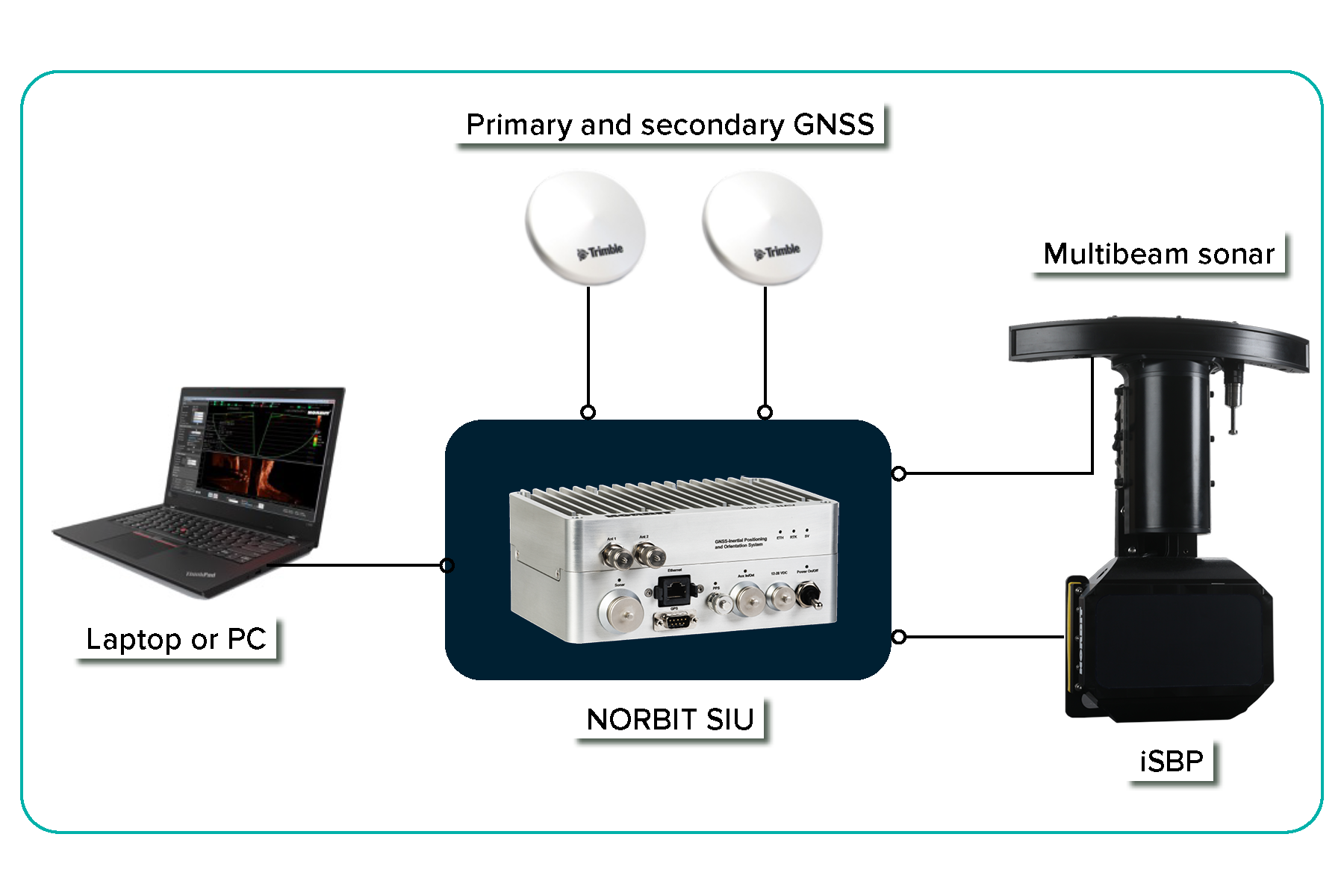
Designed for rapid deployment, the iSBP and WINGHEAD systems each require just one cable connection to the SIU. This plug-and-play architecture reduces installation effort, minimises potential points of failure, and gets operators on the water faster.
Key Features
- Fully Integrated Electronics
- Electronic Beam Steering (+/-10o)
- Range resolution up to 5cm
Applications
- Marine geophysical surveys
- Inshore and nearshore mapping
- Geotechnical investigations
- Sediment characterisation and sub-seafloor analysis
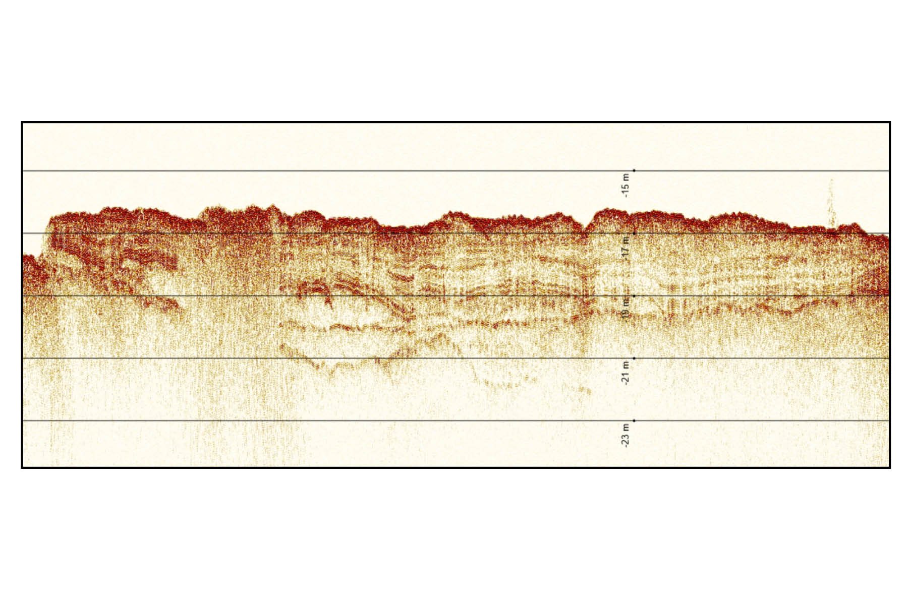
Echogram from NORBIT iSBP
High-resolution parametric sub-bottom profile revealing the internal structure of the seabed. Based on geological maps of the southern Baltic Sea, the lower layers are interpreted as glacial and fluvioglacial deposits overlain by recent marine sediments. The left part of the profile may indicate shallow gas accumulation, visible as an absence of reflections and disrupted sediment layering. Data recorded at 16m depth under transducer
Combine iSBP with
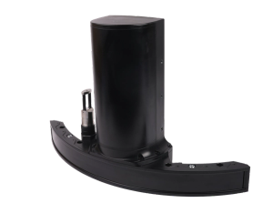
WINGHEAD X
Customisable bathymetric sonar for any mission
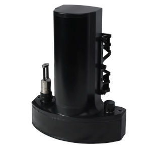
WBMS X
Bathymetric Sonar System with Ultimate Flexibility