Skip to content

WINGHEAD X

Customisable bathymetric sonar for any mission


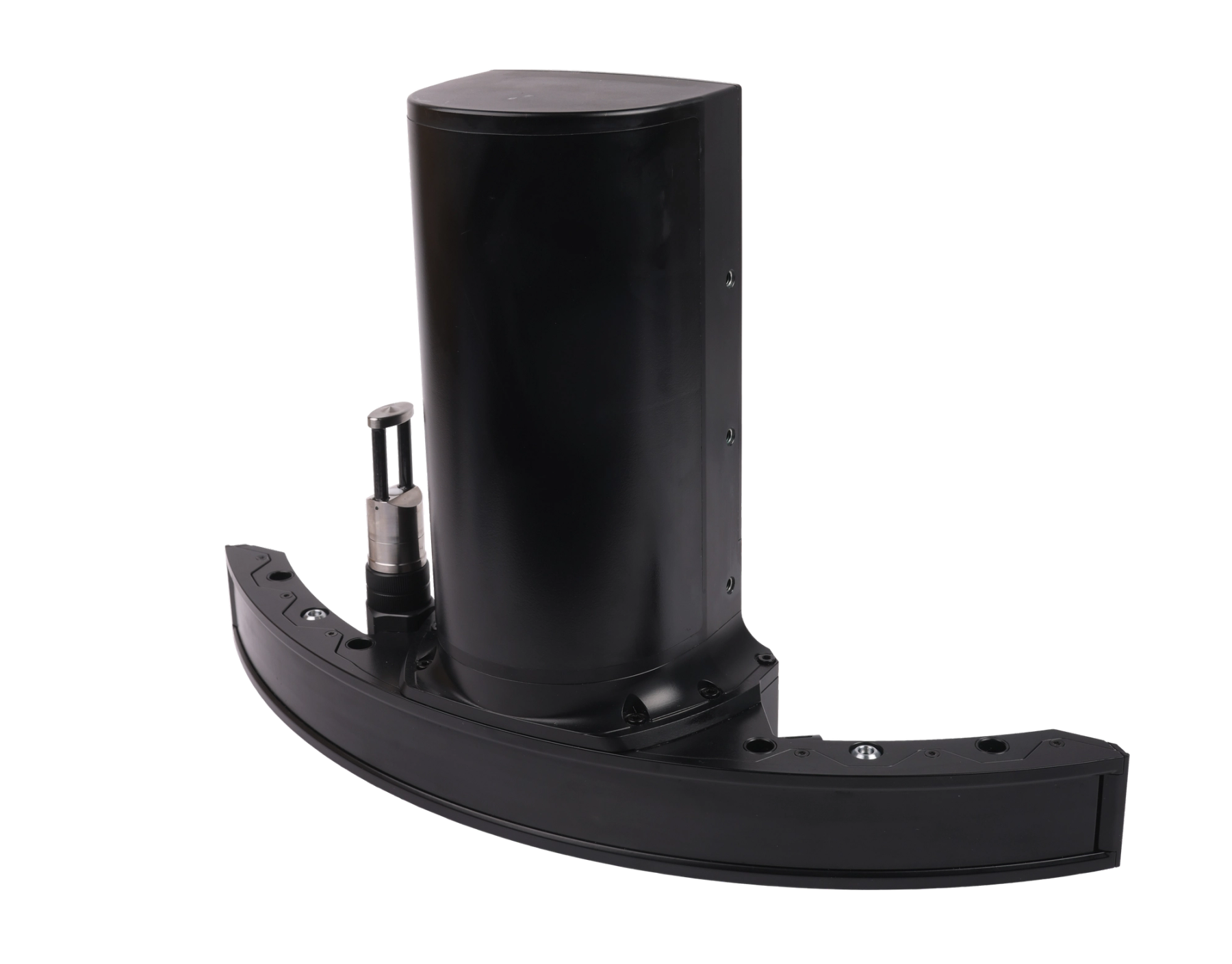
WINGHEAD X product picture

Redefining Survey Performance with the WINGHEAD X

The WINGHEAD X is the latest addition to NORBIT’s advanced multibeam sonar family, offering a flexible, ultra-high-resolution sonar system for a wide range of survey applications.

At its core, the curved-array echosounder system features a highly adaptable platform designed to meet specific operational requirements. Its modular architecture allows seamless integration into any setups and supports operational environment

Read case-study
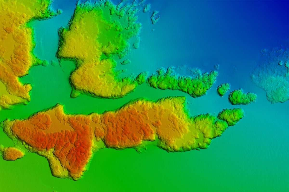
DTM of coast outside Sardinia (Survey with WINGHEAD X)

Engineered for Precision and Performance

Engineered for reliability and precision, the NORBIT WINGHEAD X delivers exceptional high-resolution performance even in challenging conditions with significant vessel motion — ensuring accurate results in every mission.

NORBIT’s extensive R&D expertise has led to the development of these cutting-edge multibeam sonar systems, designed from the ground up to offer new technology solutions for a wide range of applications, from small USVs to large vessel hull mounts, providing unparalleled data accuracy in the most demanding underwater environments.
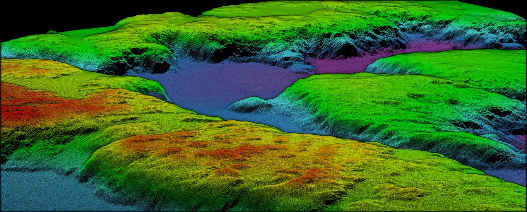
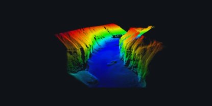
NORBIT 3D point cloud data

Add-on Product accessories and software
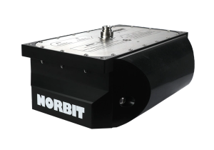
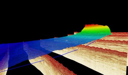
NORBIT Sub Bottom Profiler

NORBIT Sub-Bottom Profiler (iSBP)

Capture deeper insights with simultaneous seafloor mapping and sub-bottom profiling
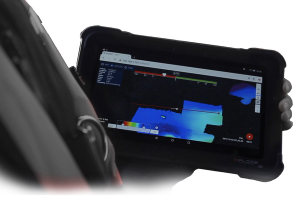
sonar data on a tablet

Data Collection Tool

Sonar Data Collection Tool (DCT) and 3D Point Cloud Viewer
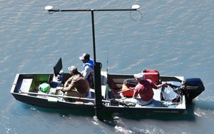
NORBIT carbon fibre Portus mounting pole

Carbon Fibre Mounting Pole (PORTUS)

Hydrographic survey mounting pole for NORBIT integrated sonar systems.
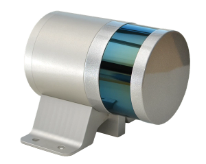
iLidar product picture

NORBIT iLiDAR laser

Turnkey Integrated Mobile LiDAR System. For Complete Above Water 3D Point Cloud
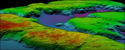
Read more about relevant applications

Upgrade Options:

  • Pitch and Yaw Stabilisation: Ensures stable, high-quality data capture in dynamic environments.
  • BSO provides fully repeatable backscatter results, as well as compatibility with physical models, for seafloor and habitat classification
  • Integration with Applanix or SBG OEM GNSS/INS
  • Dual Swath: Doubles survey sounding density along track by transmitting two swaths per ping cycle
  • STX Scanning: Rapid electronic transmit beam scanning to combine proven 2D bathymetry into 3D georeferenced bathymetry.
  • Data Acquisition & Post Processing

Hardware Options:

  • Pole Mount: NORBIT Carbon fibre mounting pole (PORTUS).
  • Housing: Titanium housing
  • Cable Length: 2m, 8m or 25m (For longer cables, please contact subsea sales)
  • Fairing: For extra protection and improved flow dynamics
  • Dual Head option available: -Please contact NORBIT Subsea sales
Features
  • Ultra High Resolution: 0.5×0.9-degree beam width
  • 80kHz Bandwidth: Delivers exceptional resolution for bathymetric mapping and imaging.
  • Simple Ethernet Interface: Streamlines system integration and data transmission.
  • Integrated Sound Velocity Probe: Ensures accurate, real-time corrections for sonar readings.
  • Active Roll Stabilisation
  • Comprehensive Backscatter Outputs: Supports intensity, sidescan, snippets, and water column data for enhanced underwater mapping.
Applications
  • SV & USV Platforms
  • Offshore Inspection, Repair and Maintenance (Irm) Operations
  • Harbour; Quay Wall, Bridge and Structure Engineering Inspection Surveys
  • Wreck and Seabed Search and Investigation
  • Pond, River, Lake and Estuary Surveys
  • Coastal Surveys
  • Renewable Energy
  • Mineral and Geological Surveys

Videos