Skip to content

WBMS X

Bathymetric Sonar System with Ultimate Flexibility


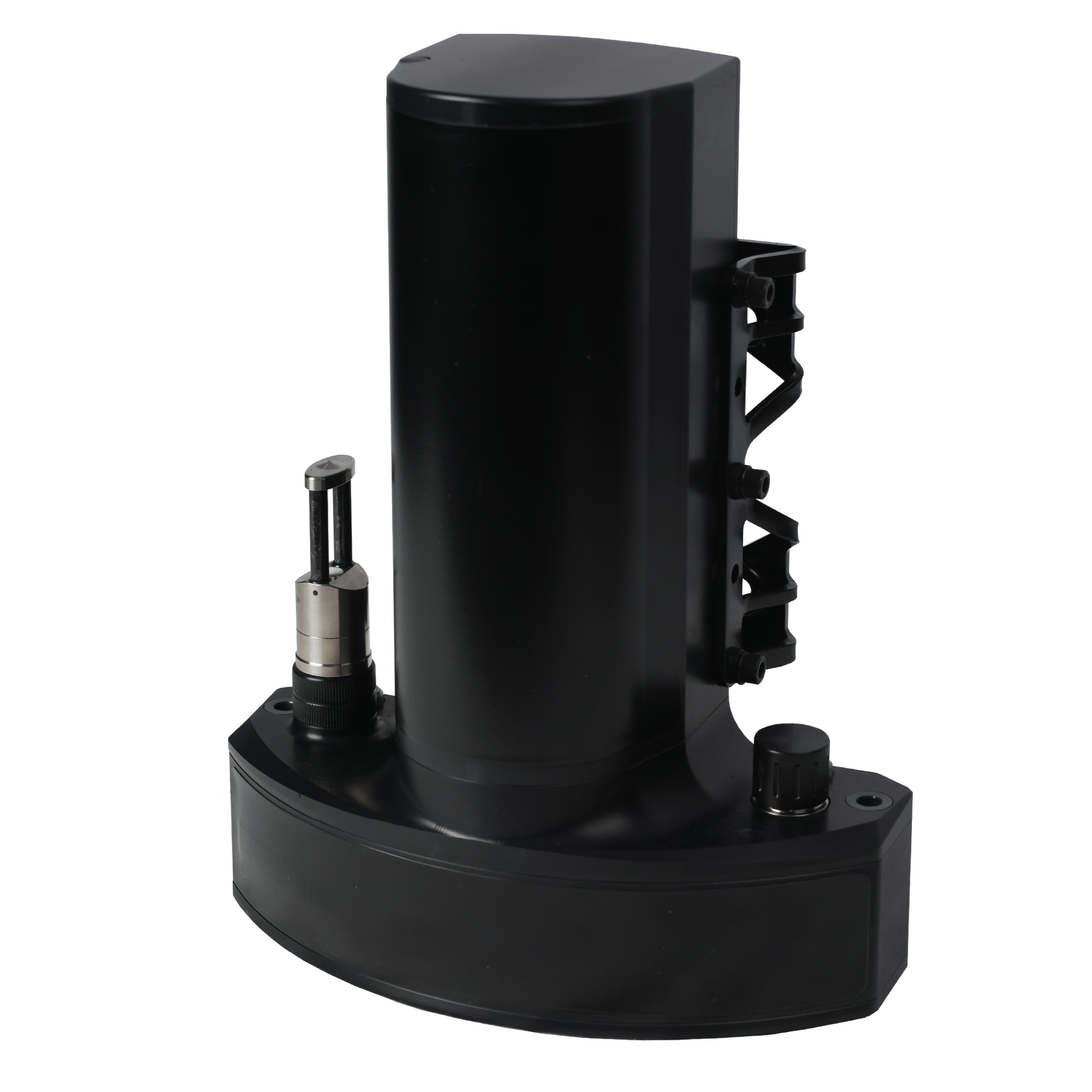
WBMS X product image

Redefining Versatility in Bathymetric Surveying

NORBIT WBMS X ultra-compact, high-resolution bathymetric sonar system is designed for pole-mount, hull-mount or USV applications.

Offering precision and adaptability, this cutting-edge, ultra-compact multibeam sonar system delivers high-resolution bathymetric data tailored to your unique survey needs. Built on a modular platform, it offers unmatched flexibility and can be customised for any operational environment, ensuring optimal performance in hydrographic surveys, marine exploration, and underwater mapping, including SBG and Applanix GNSS/INS integration options.

Case study
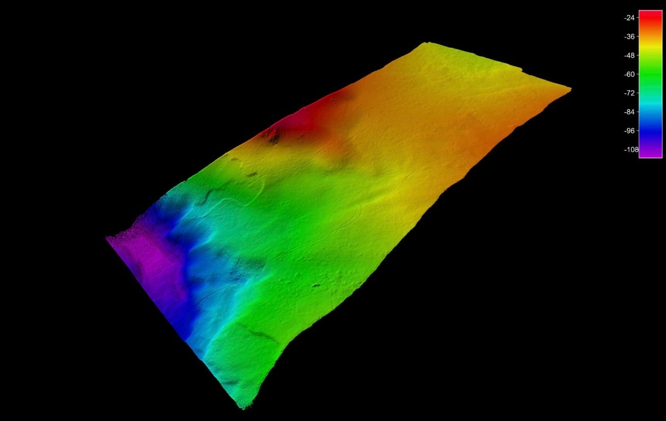
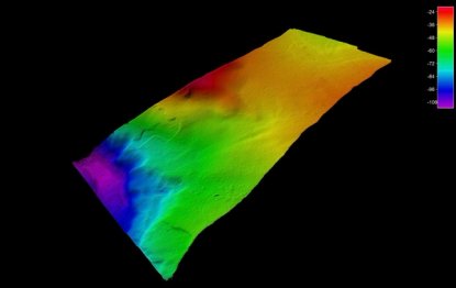
iWBMS X Feature survey map

Add-on Product accessories and software
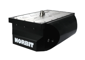
NORBIT Sub Bottom Profiler

NORBIT Sub-Bottom Profiler (iSBP)

Capture deeper insights with simultaneous seafloor mapping and sub-bottom profiling
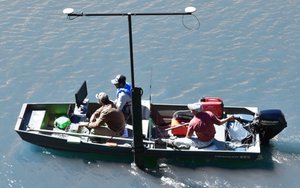
NORBIT carbon fibre Portus mounting pole

Carbon Fibre Mounting Pole (PORTUS)

Hydrographic survey mounting pole for NORBIT integrated sonar systems.
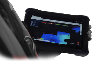
sonar data on a tablet

Data Collection Tool

Sonar Data Collection Tool (DCT) and 3D Point Cloud Viewer
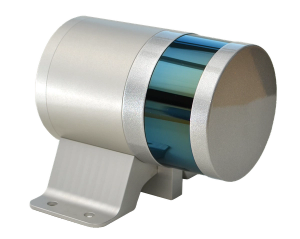
iLidar product picture

NORBIT iLiDAR laser

Turnkey Integrated Mobile LiDAR System. For Complete Above Water 3D Point Cloud

Read more about relevant applications

Software upgrade options:

Pitch Stabilisation: Real-time compensation for vessel pitch to ensure even sounding density in dynamic conditions

1024 Beams: Increase sounding density across track

Yaw Stabilisation: Real-time compensation for vessel yaw to ensureeven sounding density in dynamic conditions

Dual Swath: Doubles survey sounding density along track by transmitting two swaths per ping cycle

STX –Scanning: Rapid electronic transmit beam scanning to combine proven 2D bathymetry into 3D georeferenced bathymetry.

Data Acquisition & Post Processing: HYPACK, QPS, BeamworX, DCT, EIVA, and others 

Backscattering Strength Output: BSO provides fully repeatable backscatter results, as well as compatibility with physical models, for seafloor and habitat classification.

1.9 deg Version Opening angles: 0.9° X 1.9°@400kHz

Features
  • Configurable
  • High Resolution
  • Ultra Compact
  • Integrated sound velocity probe
  • Exceeds IHO Exclusive Order & USACE New Work
Options
  • Pole Mount: NORBIT Carbon fibre mounting pole (PORTUS).
  • Housing: Titanium housing
  • Cable Length: 2m, 8m or 25m (For longer cables, please contact subsea sales)
  • Fairing: For extra protection and improved flow dynamics
Applications
  • Coastal zones and offshore bathymetry
  • Harbor and lake surveys
  • Pipeline surveys
  • USV and UUV ready
  • Pond, river and estuary surveys
  • Dredging monitoring
  • Windfarm surveys

Videos