Advanced Curved-Array Sonar for Demanding Environments
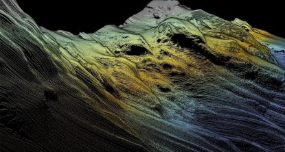
Designed to offer unsurpassed performance in shallow and medium water depths. This cylindrical ultra-high resolution curved array bathymetric system allows for rapid mobilisation anywhere, anytime.
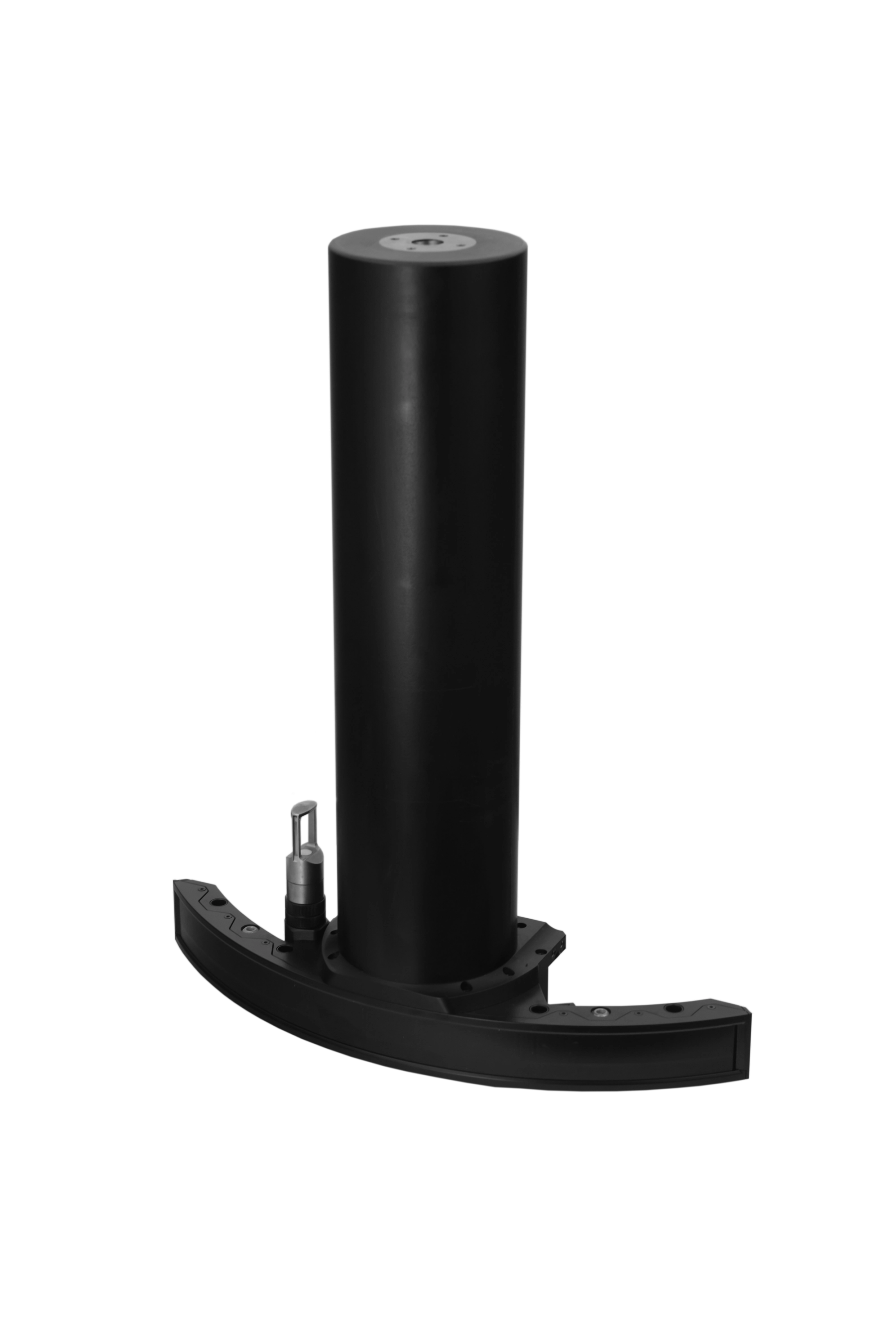
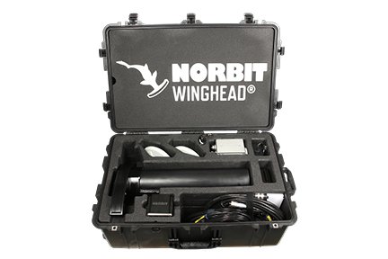
The WINGHEAD X Midwater is an ultra-high-resolution curved-array broadband multibeam echo-sounder designed for operation in the most demanding environments. Featuring a compact form factor, low power consumption, and seamless integration, the WINGHEAD X Midwater is an ideal solution for surface vessels ranging from mid-sized USVs to large ships and permanent hull installations.
Built Around Your Mission
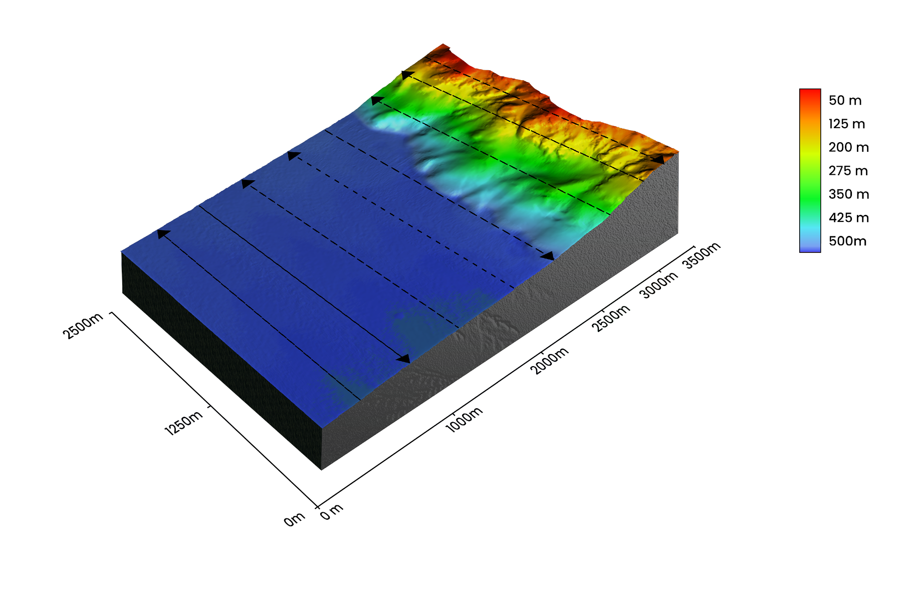
WINGHEAD X systems are designed as a flexible, configurable platform.
Users can choose from a range of GNSS/INS solutions, software features, and hardware options to match specific survey requirements, vessel configurations, and budgets. This modular approach ensures every WINGHEAD X system is optimised for its intended application while providing a clear upgrade path as future needs develop.
Explore More Feature: Layered Media Detection (LMD)
As a special NORBIT Explore More feature, Layered media detection can be added to your WINGHEAD X Midwater sonar.
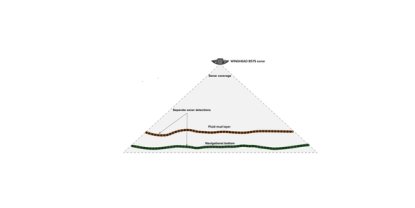
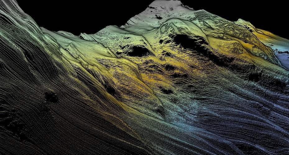
Layered Media Detection (LMD) is NORBIT's breakthrough multibeam sonar capability that reveals both the upper fluid mud layer and the underlying navigable bottom in a single survey. Validated worldwide, LMD delivers more accurate depth information for ports, waterways, and dredging operations.
READ: LMD Case study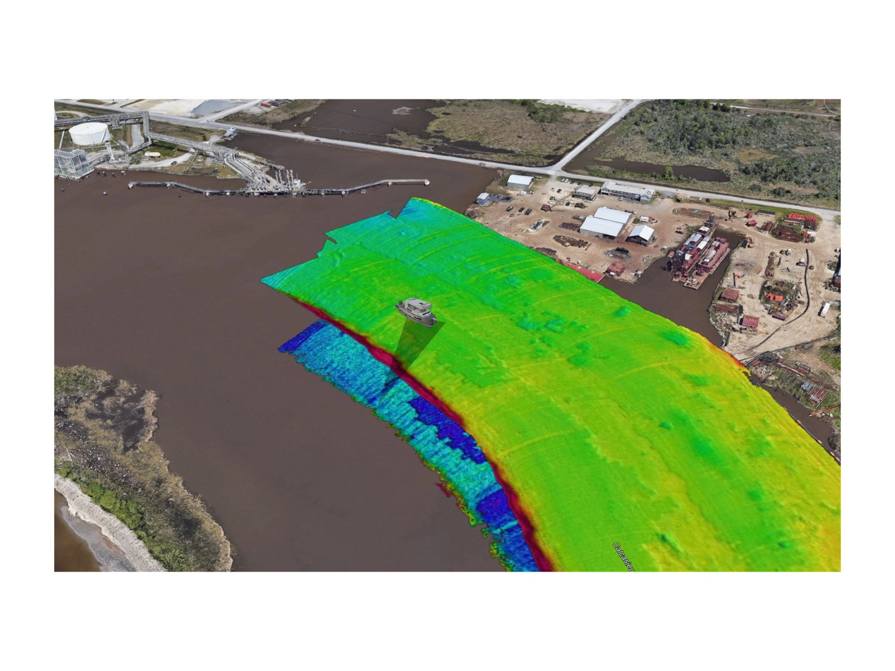
Add-on Product accessories and software
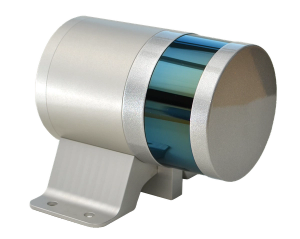
NORBIT iLiDAR laser
Turnkey Integrated Mobile LiDAR System. For Complete Above Water 3D Point Cloud
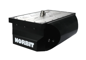
NORBIT Sub-Bottom Profiler (iSBP)
Capture deeper insights with simultaneous seafloor mapping and sub-bottom profiling
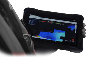
Data Collection Tool
Sonar Data Collection Tool (DCT) and 3D Point Cloud Viewer